| Uganda 2011 [message #15848] |
Fri, 28 September 2018 02:39  |
 Tirtha
Messages: 1
Registered: September 2018
|
Member |
|
|
I am currently working on a project that requires me to merge the DHS survey data with the DHS spatial/ geographic data (survey boundaries). I downloaded the Geographic Data (which is available in form of a shapefile). However, when I load the shapefile in R (which appears as a Spatial Polygon Data Frame), the Uganda 2011 data frame has no variable called DHSCLUST (which should be present in the GPS/Geographic Data, according to the DHS website). Hence, the lowest level at which I can merge the two datasets currently, is using the 'REGCODE' in the shapefile, and 'v024' in the Children's Recode Survey Dataset.
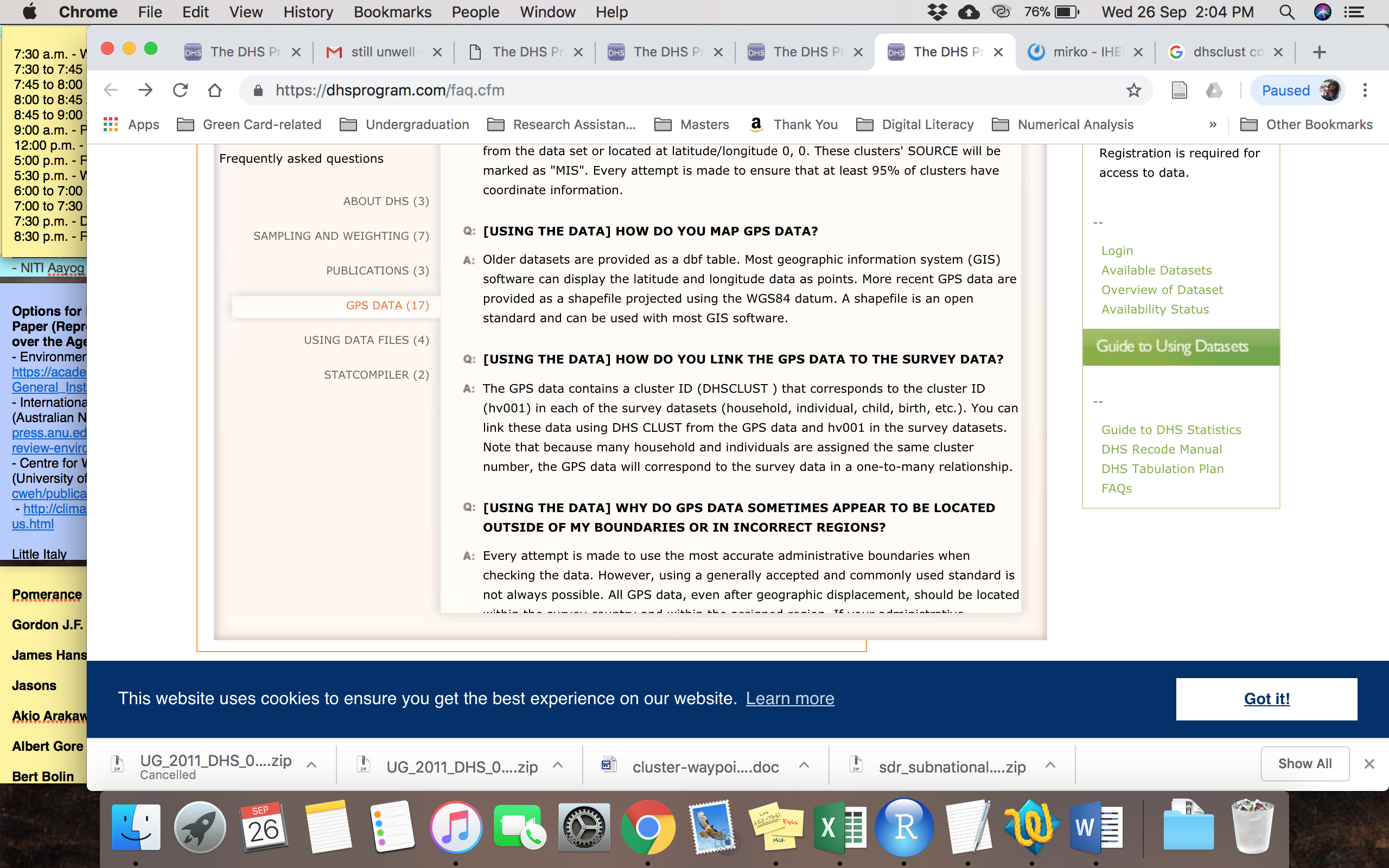
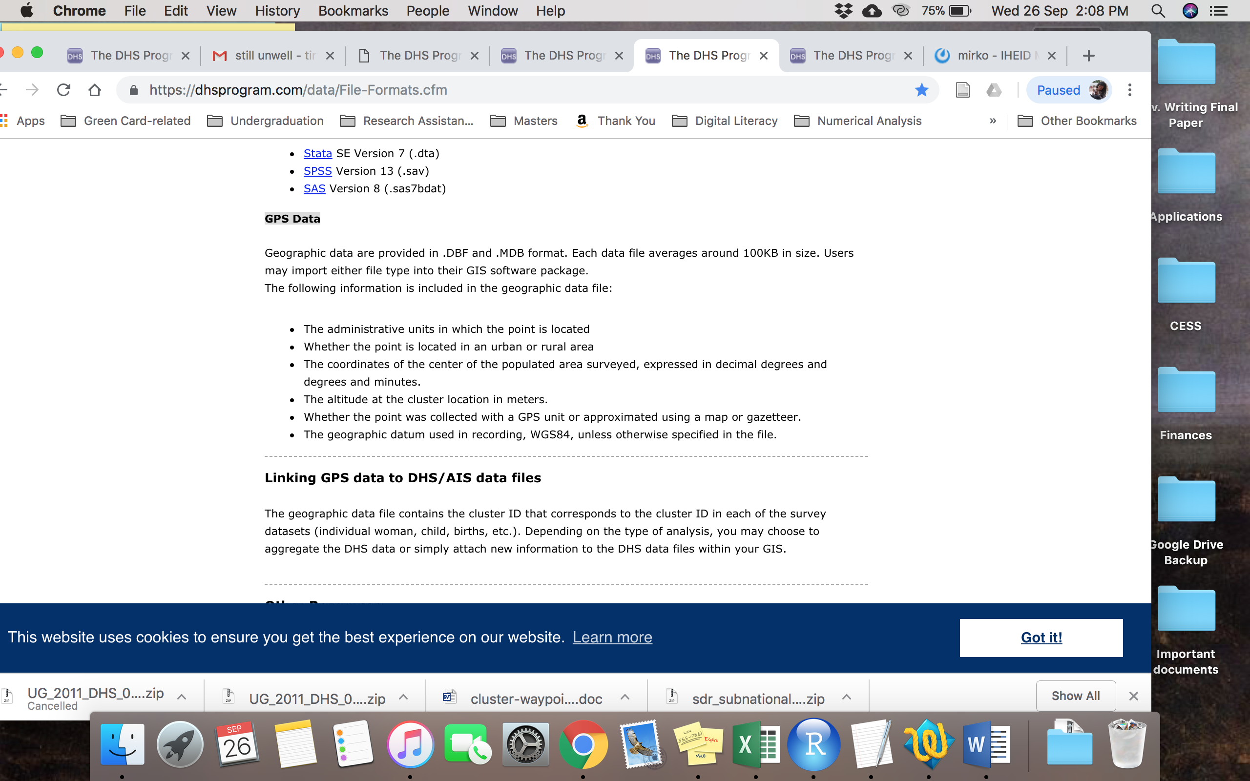
On further investigation, I found that GPS Data, described on the website (as shown in the following pictures), is available in .DBF file or .MDB file, where the cluster information and coordinates (LATNUM and LONGNUM) should be included. However, I am not able to find that for Uganda 2011. Can you please help me get this data? if not, can you guide me as to how I can merge the shapefile (i.e. geographic data/ spatial data) with the DHS survey data at the cluster level?


[Updated on: Fri, 28 September 2018 02:40] Report message to a moderator |
|
|
|
| Re: Uganda 2011 [message #16174 is a reply to message #15848] |
Sat, 17 November 2018 09:51  |
synnove1991@hotmail.com
Messages: 3
Registered: September 2018
|
Member |
|
|
Hi,
In order to get the latitude and longitude-data for Uganda you need to apply to get the GPS-datasets, and not just the survey-datasets. Once you have the permission the file can be found in a folder called UGGE61FL.
The folder contains files in various formats, amongst others .dbs and .shp
Best regards,
Synnøve
|
|
|
|